The network
The network of support a city already has: gardens, events, producers, seed libraries, free offers and volunteer roles across Greater Houston, at neighborhood precision.
What the network does
- sq ft in conservation
- 6,913
- counted
- native species
- 125
- counted
- households
- 55
- counted
- neighbor conversations a year
- ≈720
- provisional
- gatherings a year
- 14
- provisional
- hours of moderate movement a year
- ≈1,400
- provisional
Figures marked provisional are modeled from the existence of the gardens, with assumptions disclosed on the methodology page. Each is replaced by measurement on a published schedule, and every replacement is announced.
Every place, named
Each garden below is a real front yard, tended by a neighbor who chose to put it on this map.
14 gardens in their keepers' care. 2 shown here, by their keepers' choice.
The rest are on the map inside the Portal. A garden appears in public only when the person who tends it says so.
No gardens in view. Move the map, or clear the filters.
What grows here
Every layer says whether its numbers are counted or estimated.
No layers shown.
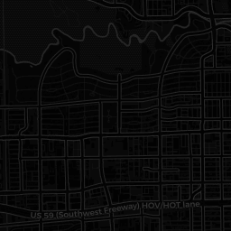
Only nodes whose owner chose to make them public appear here, and every location is shown at neighborhood precision (rounded to roughly a kilometer) — never an exact address. Nodes belonging to minors are never shown. Members control what's public per node and can opt every node out at once. See our privacy policy for how the public map works.
Show up and lend a hand
Any organization serving the commons can post its own opportunities here, free and forever. A directory, never an agency.
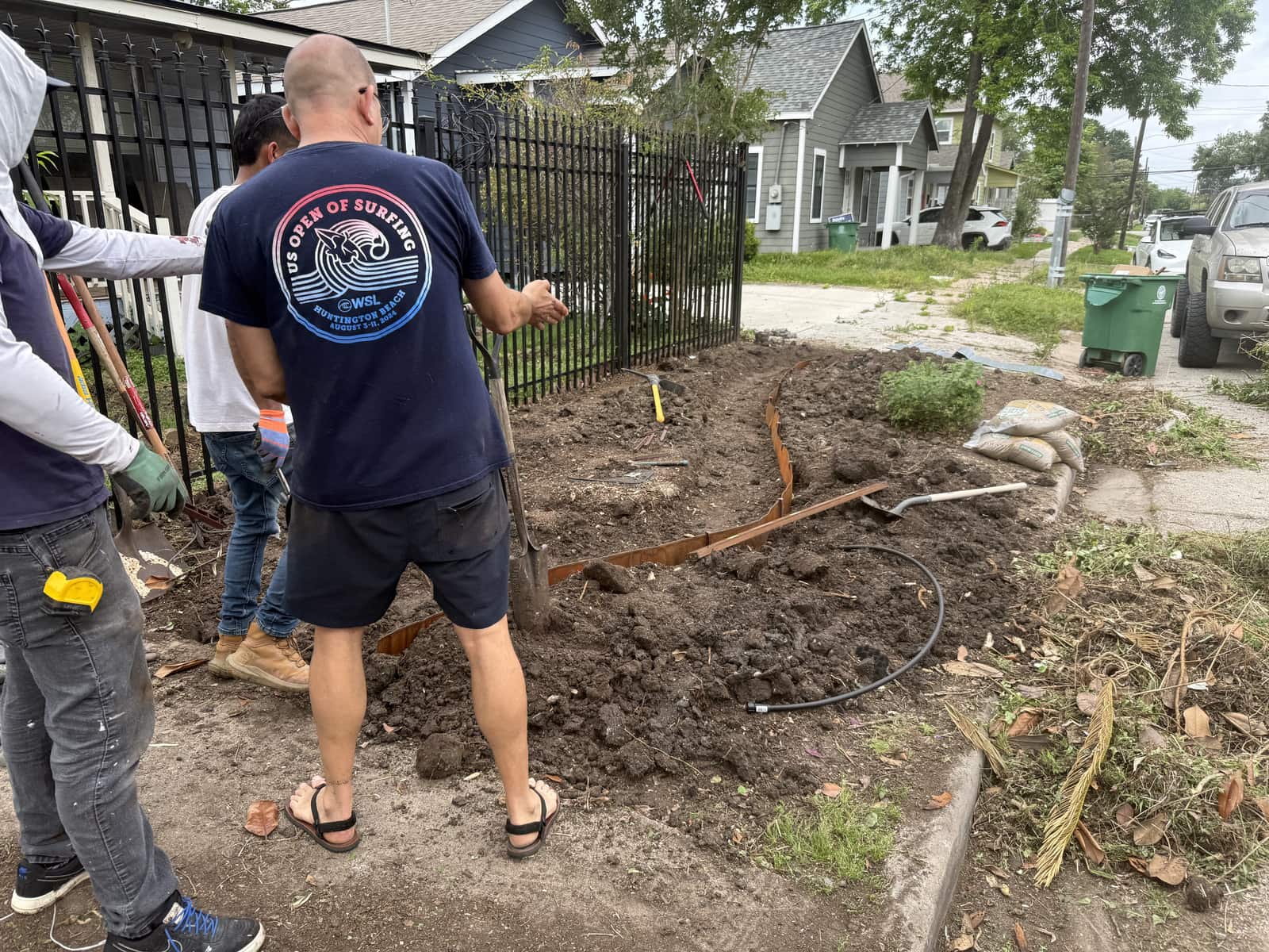
Holon takes volunteers now, in the gardens and behind the scenes. Walking rounds is a commissioned role that opens with the first neighborhood.
Claim it, or add it
Whether your organization is already on the map or not yet, taking your place is free and takes minutes.
You choose how visible to be, node by node: only you, members, or the public map. Nothing you own can be changed by anyone else, minors are never shown publicly, and one switch takes everything of yours off the public map at once.